Using LiDAR and ArcGIS Pro - Geospatial Tools and data

Vložit
- čas přidán 27. 09. 2021
- Join our facilitator Duane Wilkins and Roland Pomana from Journey GIS as they explore how to find, access and use high resolution elevation data, as well as LiDAR data for Aotearoa New Zealand.
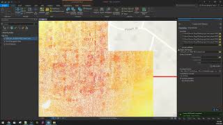
In this demonstration they will describe how LiDAR is captured, how you can view it in Opentopography.org, and download high resolution elevation data from the LINZ Data service.
Reference Document: hae.re/elevation
Music via Bensound.com - Věda a technologie


Way cool, Ngā mihi nui Duane and Roland
John Nelson ESRI map maker TikTok? Thanks for the tip!