How to Download Water Bodies from USGS using EarthExplorer (in ESRI Shapefile Format)

Vložit
- čas přidán 24. 02. 2019
- Website: earthexplorer.usgs.gov/
Follow GeoDelta Labs on Facebook - / geodeltalabs
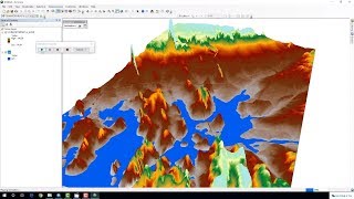
This tutorial shows you how to download water bodies from USGS earthexplorer for an area of your interest. It also shows you how to define the projection for the downloaded shapefiles.
⭐NOTE:
‘Kite’ is an excellent tool that can help you boost your productivity when it comes to programming with its free Artificial Intelligence (AI) powered coding assistant. Kite is a plugin which provides smart completions and documentation as you’re typing-in your code, and its compatible with most of the well-known IDEs such as PyCharm, Spyder and VS Code. I absolutely love it, and recommend you guys to try it out as well.
www.kite.com/get-kite/?...


Thanks mate! Your Channel is awesome, good job.
Thanks for sharing your knowledge......
Good job brother
thank you for share
Thank yoy
Is this possible to get the polygon shape file for waterbody direcly from an API call?
great video. Thanks! May I just know why the coordinate system has to be WGS 1984?
@@AliMadoobe Thank you so much! I will try it.
Extract to where?
dear sir i like to know if i can have satellite images for the water tables please help me
What if areas from both the tile is required? how to download in such situation
Hi, you may have to combine them manually in that case