SurveyTools for BricsCAD - Reliable, Dynamic TIN Surface Modeling, With The Specific Tools Needed

Vložit
- čas přidán 19. 07. 2023
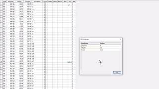
- Survey software with a DTM (Digital Terrain Model) routine offers significant advantages. It automates the generation of 3D terrain models from survey data, allowing for accurate visualization and analysis. This feature streamlines design and planning processes, enhances accuracy in volumetric calculations, and facilitates efficient project communication, ultimately improving overall project efficiency and outcomes.
Learn More
www.microsurvey.com/products/...
@BricsysOfficial
#bricsys #BricsCAD #BricsCADforCivilEngineering - Věda a technologie