Tuatahi - Mapping whenua, whakapapa and tangata whenua

Vložit
- čas přidán 12. 06. 2024
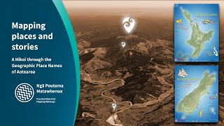
- Join us as we introduce GIS mapping technology for those working in Māori groups, projects and trusts. This provides a basic understanding of how these tools can be employed to uphold the principles of kaitiakitanga (guardianship), reinforcing the connections of whakapapa, and relationship with the whenua.
What tools and information are available?
What you can do with GIS maps today, without further training
How do I access free resources and what is available for the whenua, moana and tangata whenua
How to add a quick map to my reports and presentations - Věda a technologie